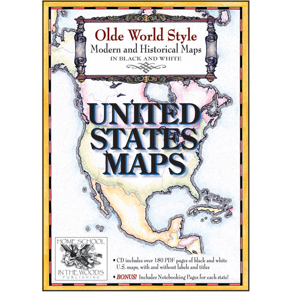


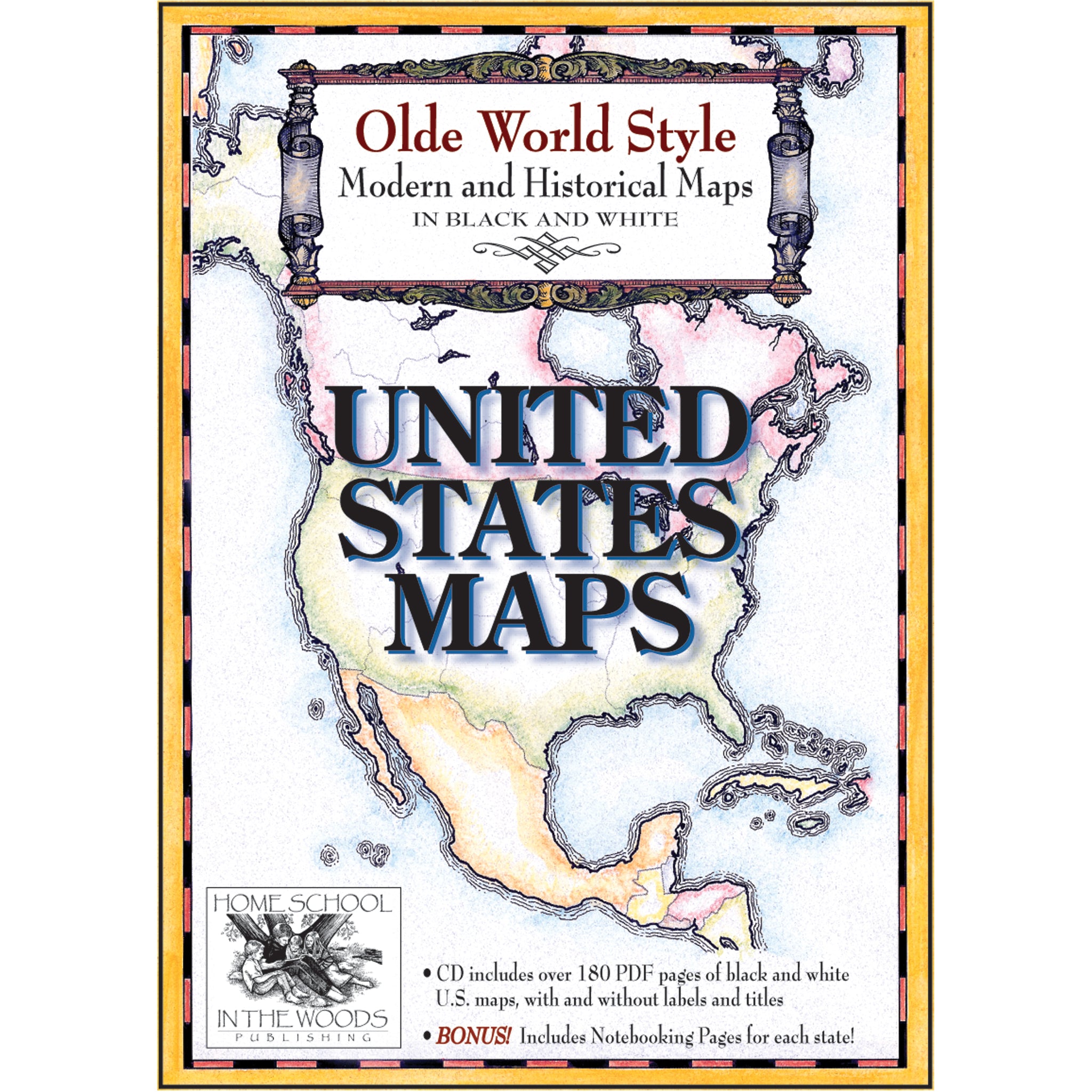
Maps: United States Maps
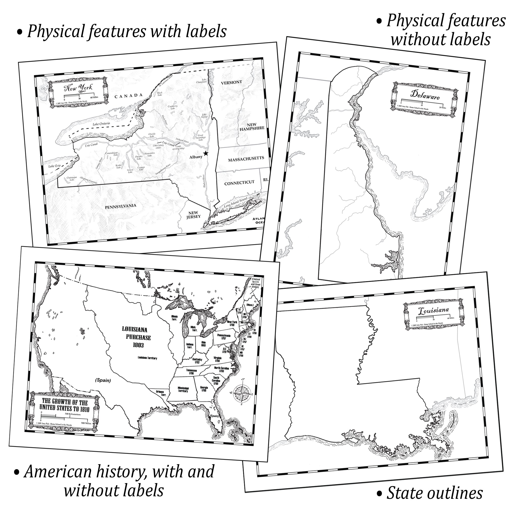
The United States Maps set contains maps of each state, Washington DC, and over a dozen maps of American History. The state maps are offered three ways for your convenience: with labels, without labels, and in outline form. Use the labeled version for simply coloring, or have your student do their own labeling! Or, get more specific by designating areas of agriculture, locations of historic landmarks, displaying reservations, and much more!
See below for details and step-by-step tutorial!
• Suggested grades: K-12
• Mac & PC Compatible
• ISBN: 9780981552385
Also included are over a dozen maps pertaining to the growth and changes to the Nation. From the location of various Native Tribes to the 13 Colonies, and through the expansion of the states, these maps will offer additional helps when studying America's history.
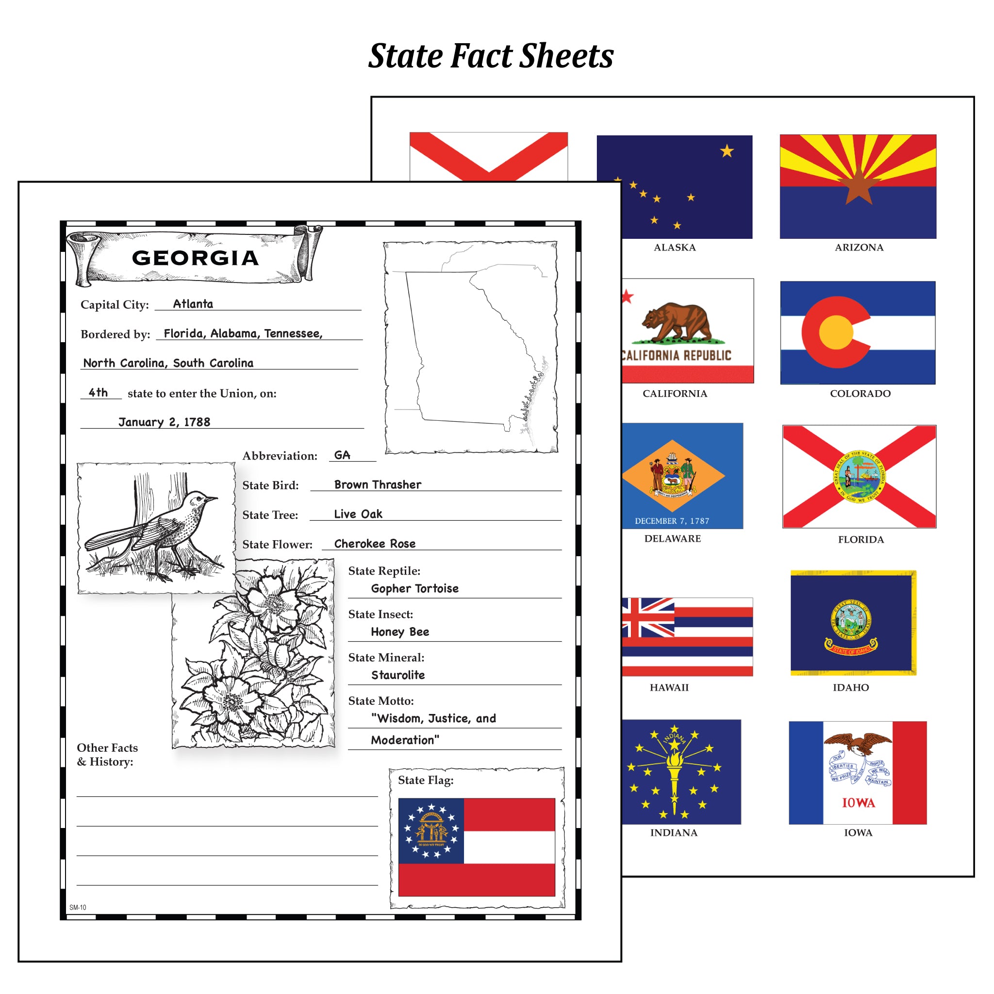
BONUS! Also included are Fact Sheets for each state for the student to fill out and color in. Teacher keys are provided, as well as a set of state flags in full color to cut out and adhere to the sheet!
The set contains PDF pages for maps and Notebook Pages, provided individually and in limited groupings for your printing convenience. These Maps are designed to accompany your studies. Tips for use are included, however no lesson text is provided.