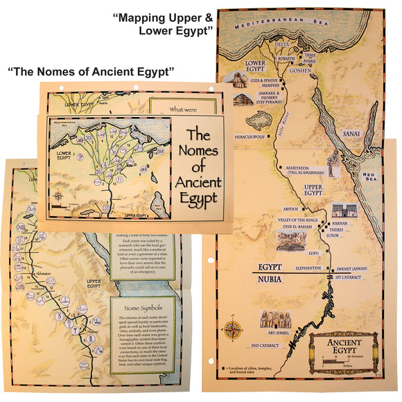
ALC-1069: Mapping Ancient Egypt Notebook Projects

To understand ancient Egypt, you have to know the lay of the land. Physical attributes such as the Nile River played a major role in the development of cities and locations of landmarks. Early Egyptian settlers became skilled at water control and created governments (nomes) along the river to make sure that all the people got their share of water for their fields. They would become an important part of local Egyptian government for centuries to come. Over time, the nomes began to band together to form larger communities until they had created two large groups that split Egypt in half: Upper and Lower Egypt. These halves would eventually be unified, ushering in the great Egyptian civilization.
• (Grades 3rd-8th) ALC-1069
• Originally found in Project Passport: Ancient Egypt
• Related Projects of Interest: ALC-1030: Ancient Egypt Timeline